Accedi
Tutte le risorse
Creare un design
Tools
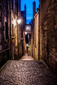
4.950 Immagini gratuite per Le Scale
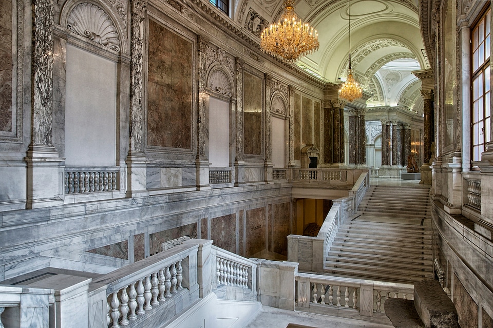
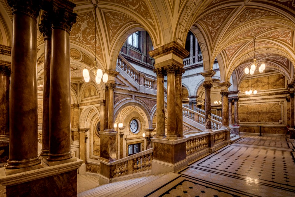
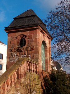
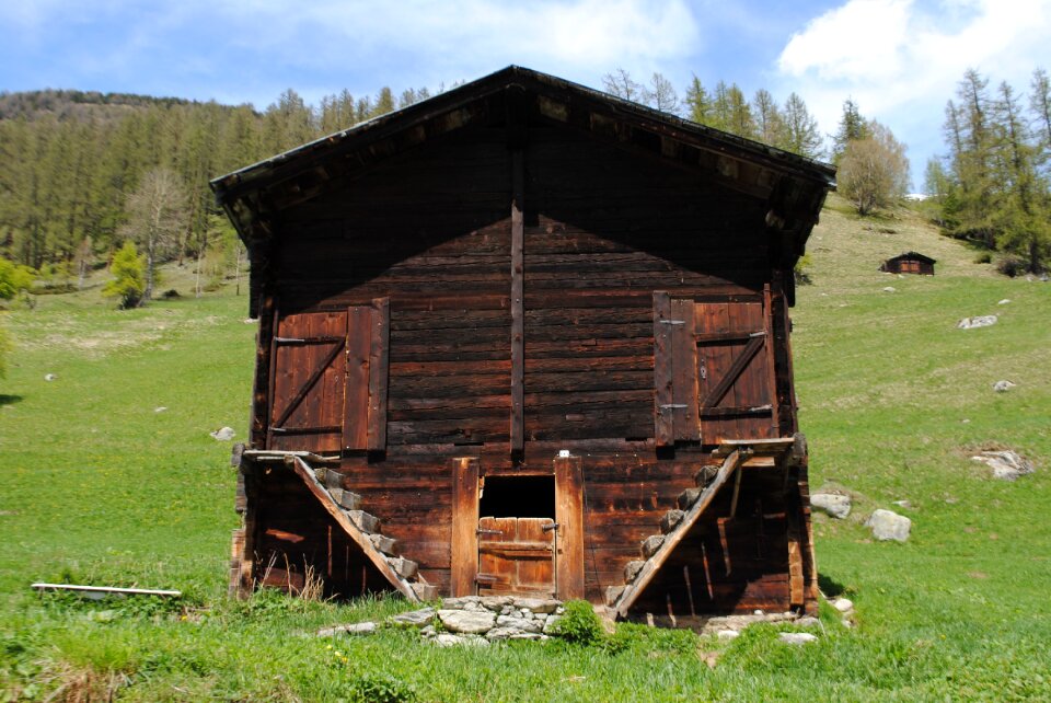
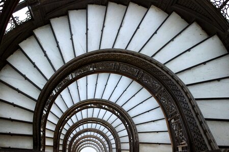
architettura
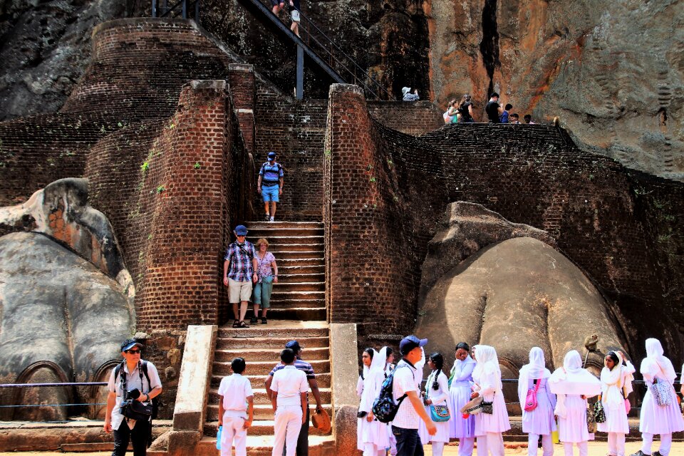
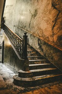
storico
edificio
vecchio
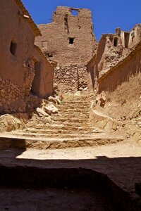
città
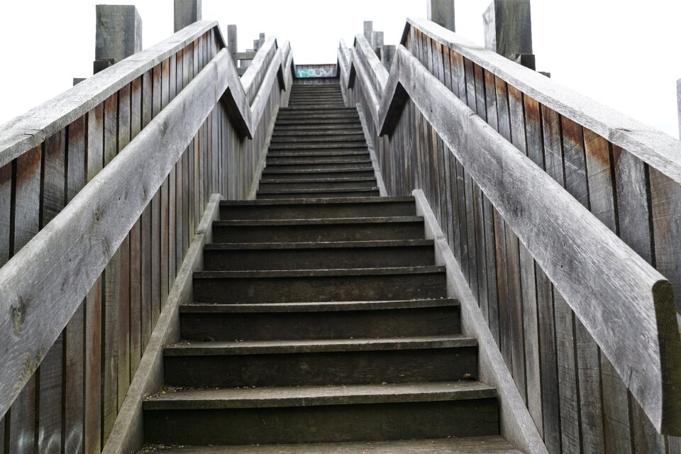
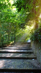
scala
viaggio
storia
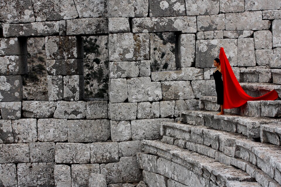
pietre
punto di riferimento
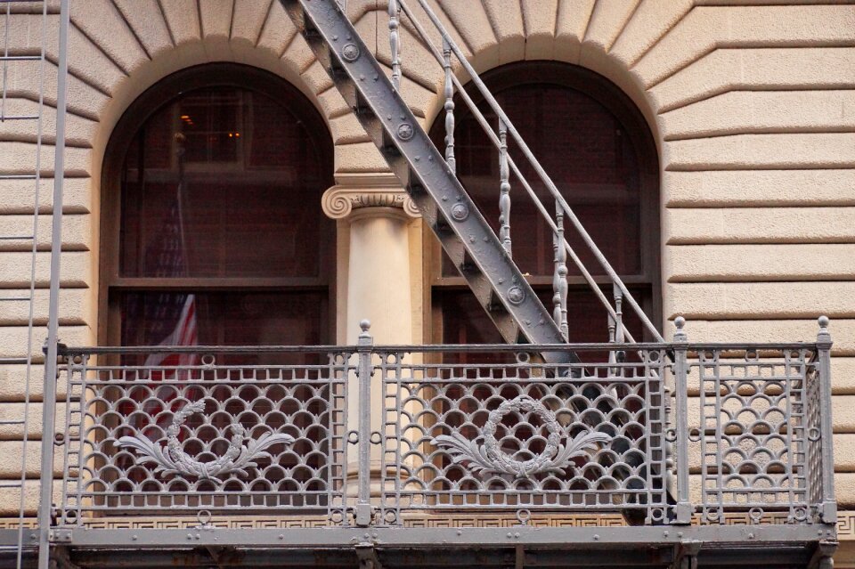
architettura
bruno
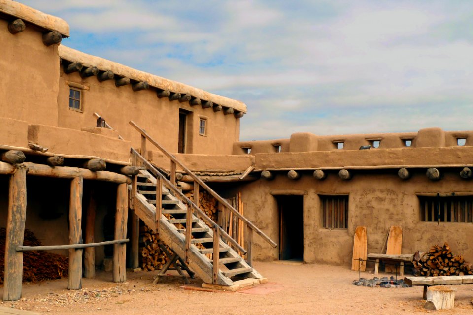
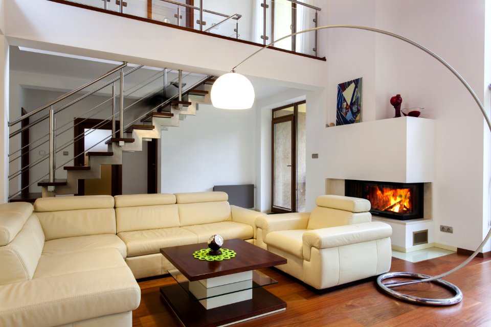
piante
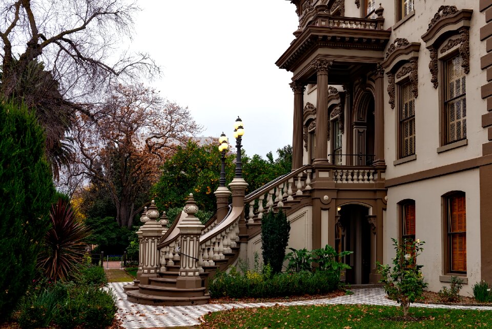
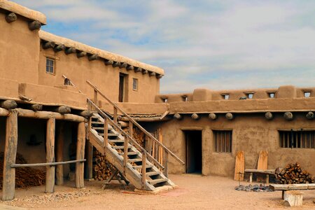
casa
edificio
spazio
edificio
città
edificio
mobilia
edificio
icona
architettura
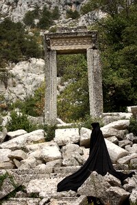
pietre
edificio
pietre
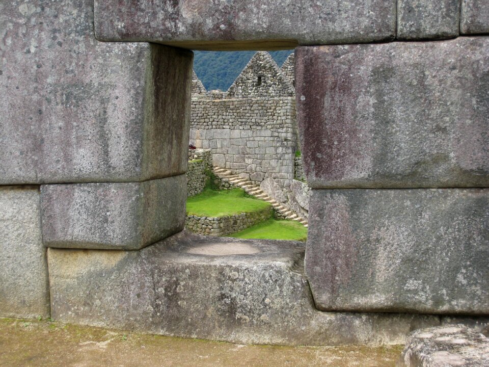
monumenti
città
edificio
casa
edificio
pietre
edificio
pietre
militare
edificio
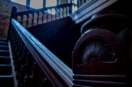
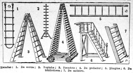
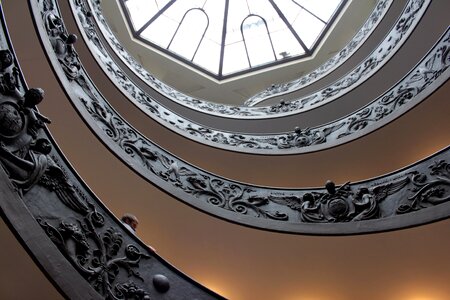
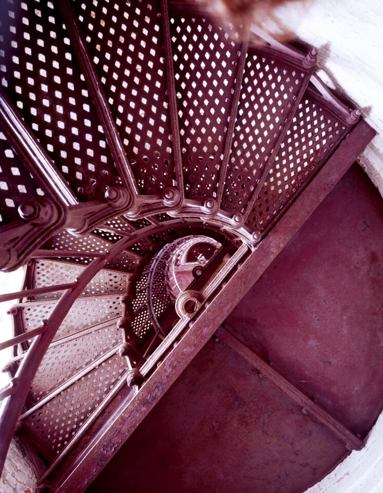
scala
scala
arrampicata
simbolo
paesaggio
edificio
edificio
città
successo
impresa
carattere
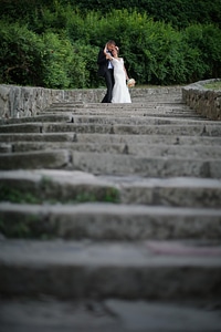
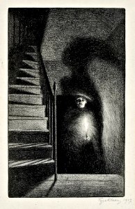
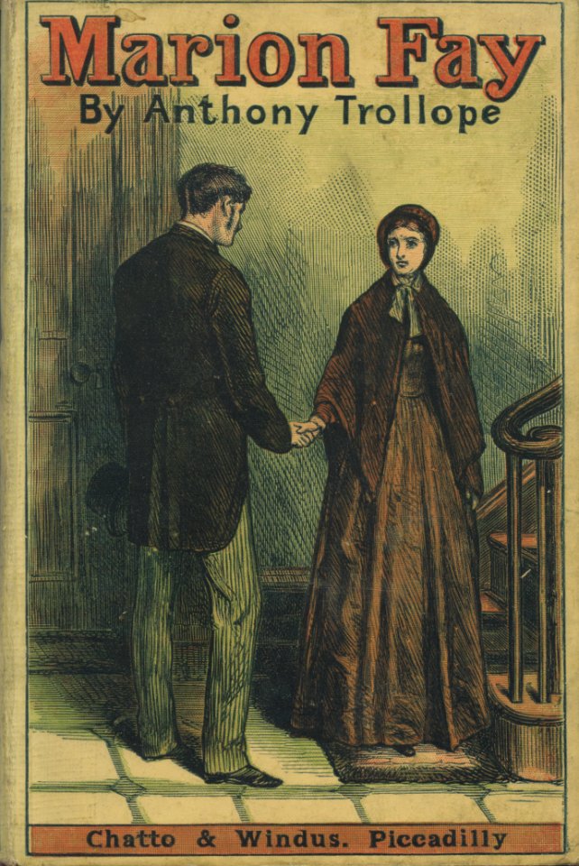
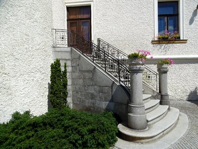
scala
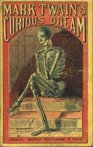
illustrazione
libro
ragazze
scarpe
new york
natura
calcilutite
lavagna
illustrazione
artista
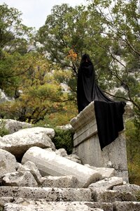
cappuccio
scala
illustrazione
libro
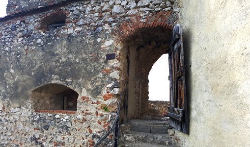
architettura
edificio
paesaggio
edificio
edificio
viaggio
edificio
città
militare
edificio
edificio
pietre
edificio
casa
edificio
albero
edificio
spazio
viaggio
città
edificio
bandiera
edificio
sfondo
paesaggio
viaggio
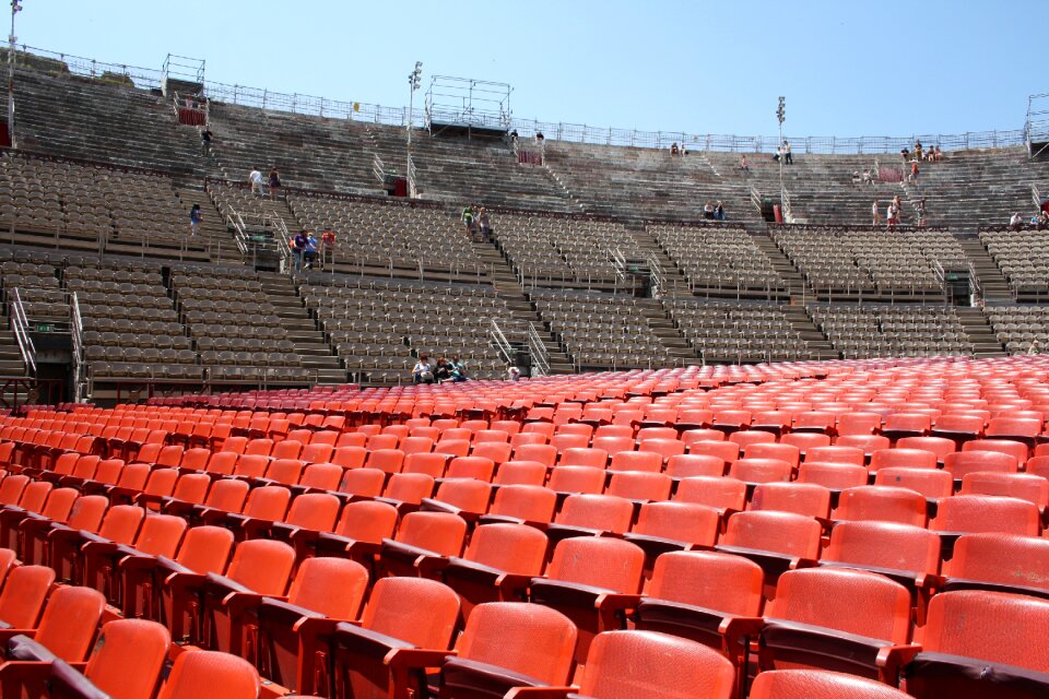
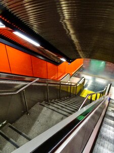
scala mobile
trasporto
successo
vittoria
arrampicata
simbolo
edificio
pietre
edificio
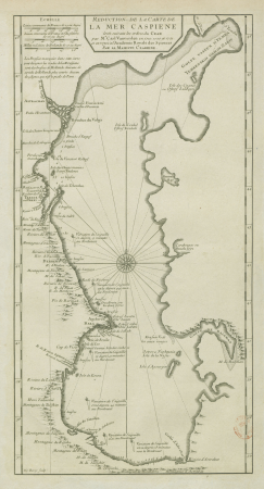
mappe
edificio
viaggio
personaggi
paesaggio
monumenti
città
paesaggio
edificio
edificio
viaggio
stati uniti d'america
edificio
roccia
pietre
simbolo
scala
trasporto
città
mobilia
casa
edificio
viaggio
viaggio
città
edificio
città
edificio
mare
scheletro
sorriso
scuola
treno
scuola
treno
4701 - 4800 di 4.950
Pagina successiva
/ 50


![Special map of the surroundings of Paris / By Mess[ieu]rs of the Royal Academy of Sciences in the year 1674; engraved by F. de la Pointe, 1678](https://cdn.creazilla.com/illustrations/10000606815/special-map-of-the-surroundings-of-paris-by-messieurs-of-the-royal-academy-of-sciences-in-the-year-1674-engraved-by-f-de-la-pointe-1678-sm.webp)
![Special map of the surroundings of Paris / By Mess[ieu]rs of the Royal Academy of Sciences in the year 1674; engraved by F. de la Pointe, 1678](https://cdn.creazilla.com/illustrations/10000758505/special-map-of-the-surroundings-of-paris-by-mess-ieu-rs-of-the-royal-academy-of-sciences-in-the-year-1674-engraved-by-f-de-la-pointe-1678-sm.jpg)
![Special map of the surroundings of Paris / By Mess[ieu]rs of the Royal Academy of Sciences in the year 1674; engraved by F. de la Pointe, 1678](https://cdn.creazilla.com/illustrations/10000404866/special-map-of-the-surroundings-of-paris-by-messieurs-of-the-royal-academy-of-sciences-in-the-year-1674-engraved-by-f-de-la-pointe-1678-sm.webp)
![Special map of the surroundings of Paris / By Mess[ieu]rs of the Royal Academy of Sciences in the year 1674; engraved by F. de la Pointe, 1678](https://cdn.creazilla.com/illustrations/10001362978/special-map-of-the-surroundings-of-paris-by-messieurs-of-the-royal-academy-of-sciences-in-the-year-1674-engraved-by-f-de-la-pointe-1678-sm.webp)


![Carte particuliere d’Amstelland, ou Les environs d’Amsteldam, Muyden, Weesp, Naarden &c. = Particuliere kaart van Amstellandt, of Het omleggende van Amsteldam, Muyden, Weesp, Naarden &c. / I. Condet f[ecit] 1749, Johannes Condet](https://cdn.creazilla.com/illustrations/10000681404/carte-particuliere-damstelland-ou-les-environs-damsteldam-muyden-weesp-naarden-c-particuliere-kaart-van-amstellandt-of-het-omleggende-van-amsteldam-muyden-weesp-naarden-c-i-condet-fecit-1749-johannes-condet-sm.webp)


![Special map of the surroundings of Paris / By Mess[ieu]rs of the Royal Academy of Sciences in the year 1674; engraved by F. de la Pointe, 1678](https://cdn.creazilla.com/illustrations/10001522192/special-map-of-the-surroundings-of-paris-by-messieurs-of-the-royal-academy-of-sciences-in-the-year-1674-engraved-by-f-de-la-pointe-1678-sm.webp)